The route, step by step
2 km · ↑ 500 m
Start · Qafë Shtamë PassBack at the start
- Viewpoint
- Water
- Rough track
- Forest
- Summit
Highlights
- The park's highest point at 1,724 metres
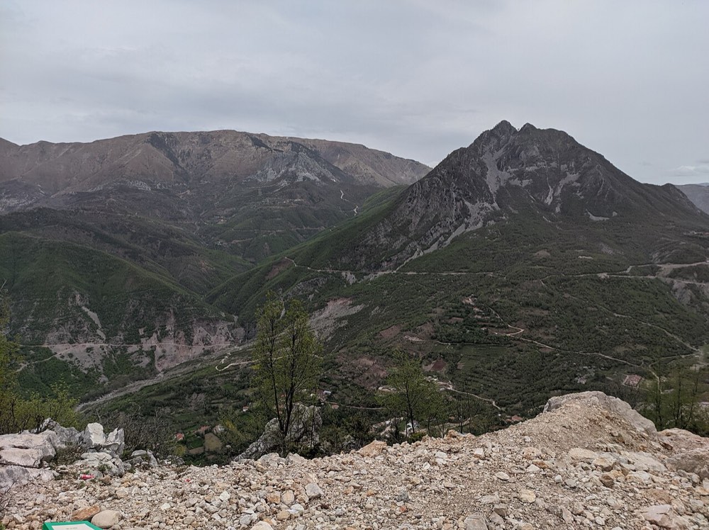
- Views over Bovilla Lake, Tirana, Cape Rodon and the central ranges
- A path of wide switchbacks through pine and oak forest
- Known spring water sources along the way
Before you go
- Download offline maps; formal signage is patchy
- The park covers 2,000 hectares of forest and ridge paths
- The short distance is steep; this is a sharp climb, not a stroll
With Tour Alb
Our driver drops you at Qafë Shtamë pass and waits during the climb; this walk is optional on the Bovilla-Qafshtamë-Krujë day.
Nearby trails
 hardKrujë · heritage walk
Sari Salltik Tekke Trail
Shpella e Sari Salltikut
2 km↑ 700 m1.5–2.5 h
A demanding climb to a sacred Islamic shrine in a mountain cave, rewarding the effort with panoramic views across central Albania to the Adriatic.
Best: April to October
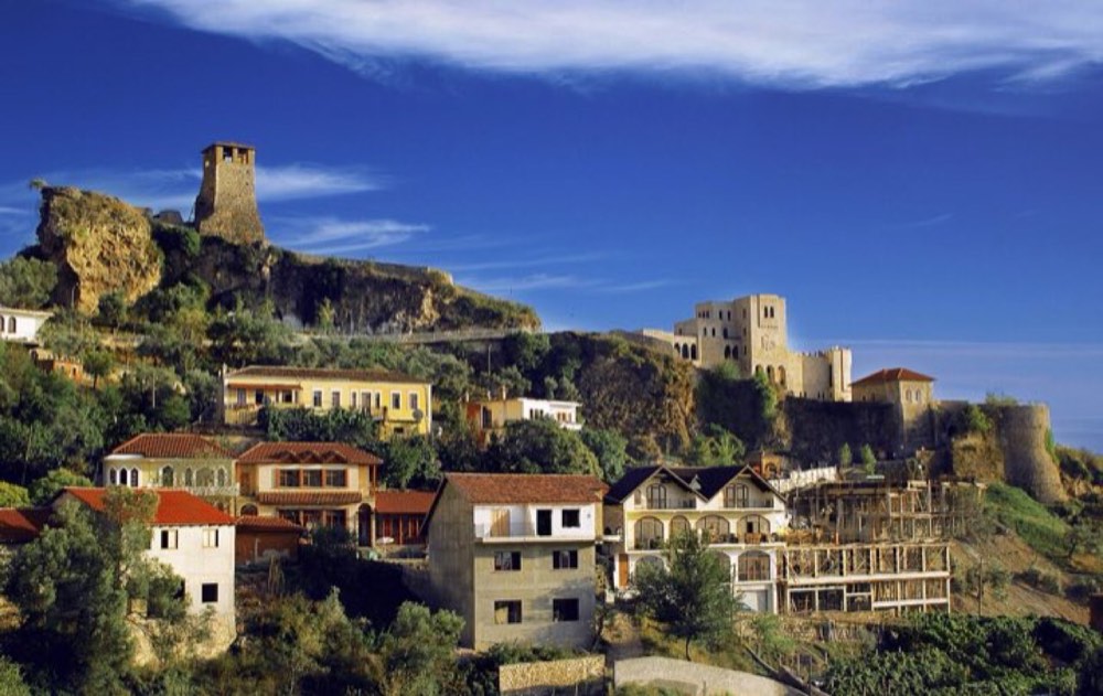 easyKrujë · heritage walk
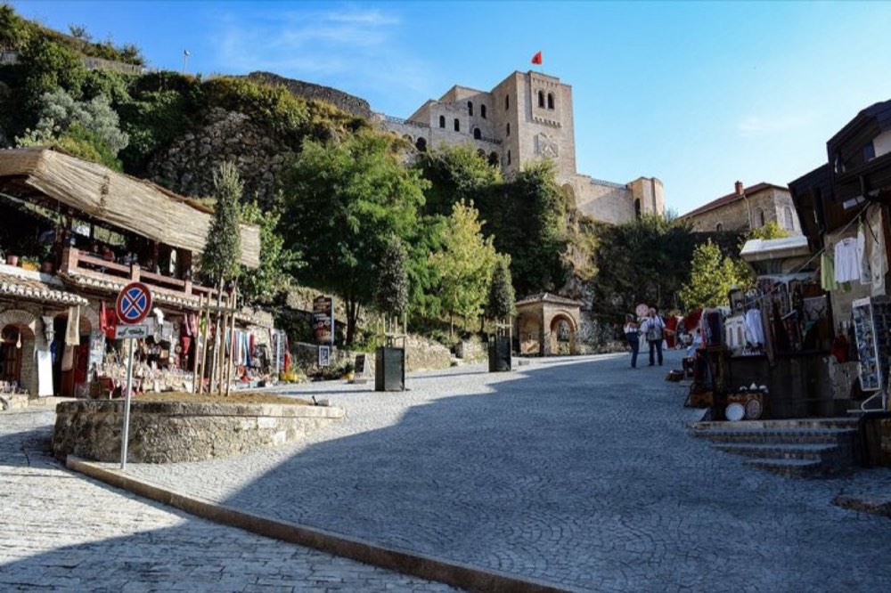
Krujë Castle & Old Bazaar Walk
Kalaja e Krujës
1 km1–2 h
One of Albania's most important castles, set above a bazaar that has traded for centuries, and a gateway to the Skanderbeg story.
Best: April to October
Questions
- How long does the Qafshtamë National Park, Maja e Liqenit Peak take?
- About 1–1.5 h for 2 km round trip.
- How hard is the Qafshtamë National Park, Maja e Liqenit Peak?
- Hard, with about 500 m of climbing.
- When is the best time to visit Qafshtamë National Park, Maja e Liqenit Peak?
- May to September
- How do I get to Qafshtamë National Park, Maja e Liqenit Peak?
- Our driver drops you at Qafë Shtamë pass and waits during the climb; this walk is optional on the Bovilla-Qafshtamë-Krujë day. The walk starts at Qafë Shtamë Pass.
Sources
Compiled from these public sources. Conditions change: check locally before you set off.